Since ancient times, humans had tried to describe and represent the world around them. This aspiration originated maps, made first on stone, metal and then on paper, which in many cases are true works of art.
The Cartography represents the earth’s surface or part of it in its evolution.
One of the oldest and most accurate maps of the world, the Tabula Rogeriana, is made in Sicily in the twelfth century AD.
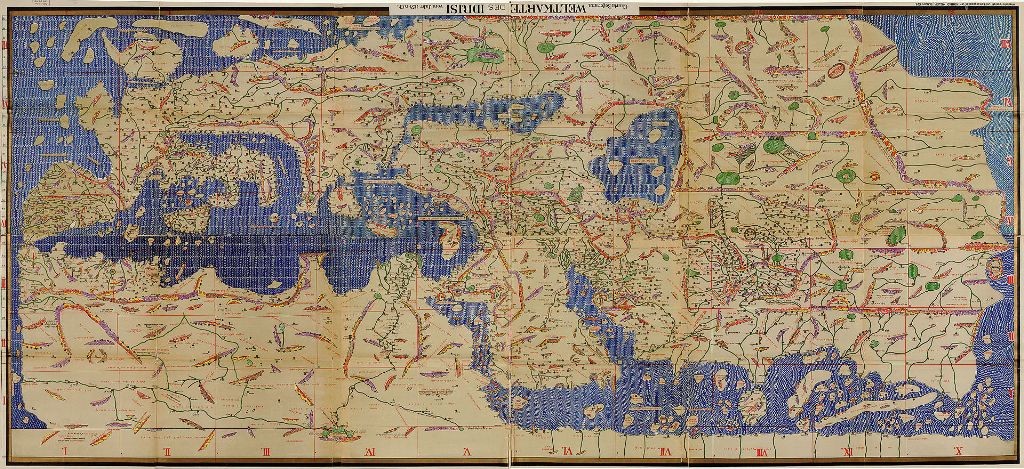
Tabula Rogeriana 1154 A.D.
Cards made after presenting the island divided in three valleys:
Val Demon, Val di Noto and Val di Mazara.
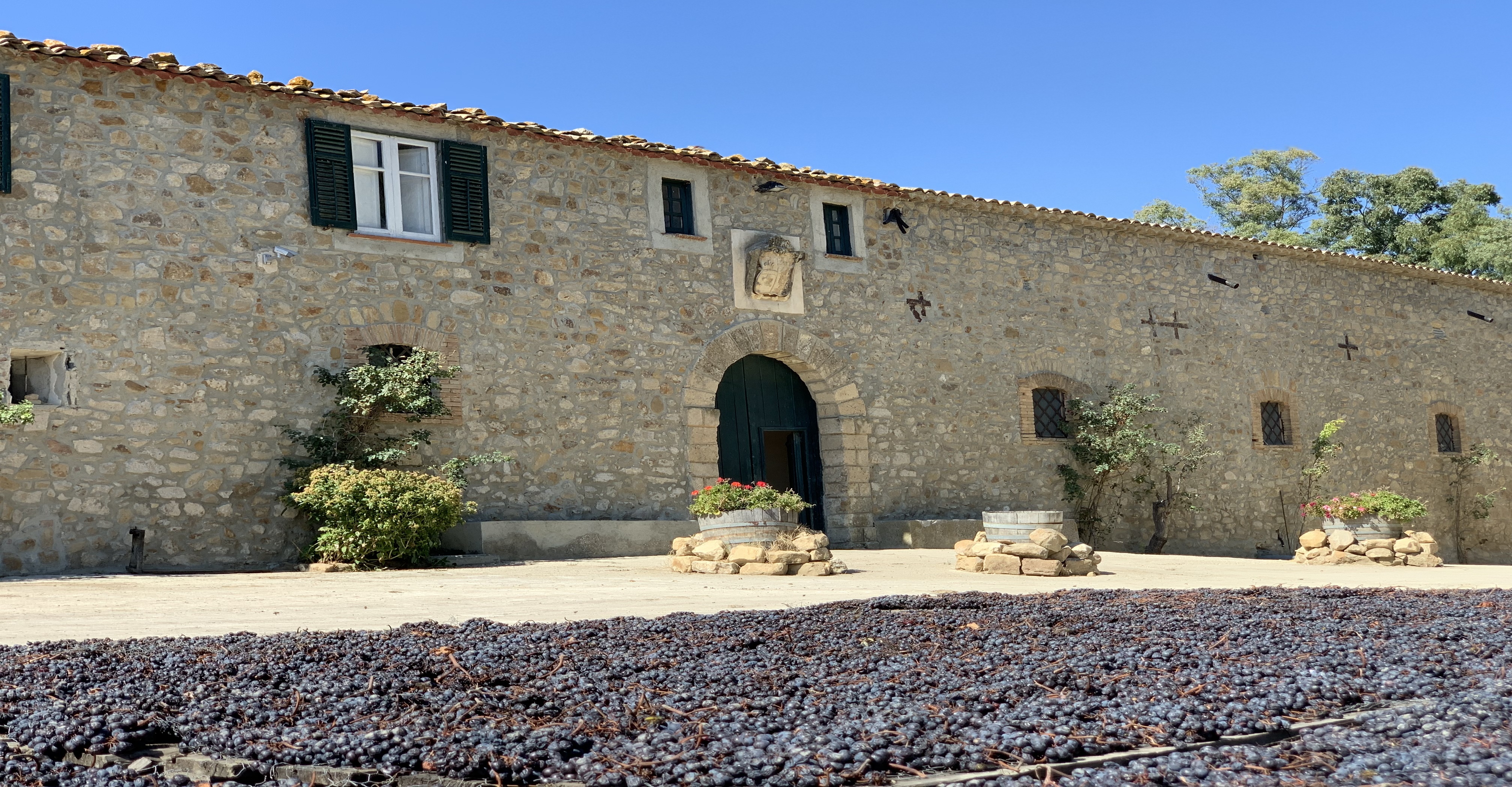
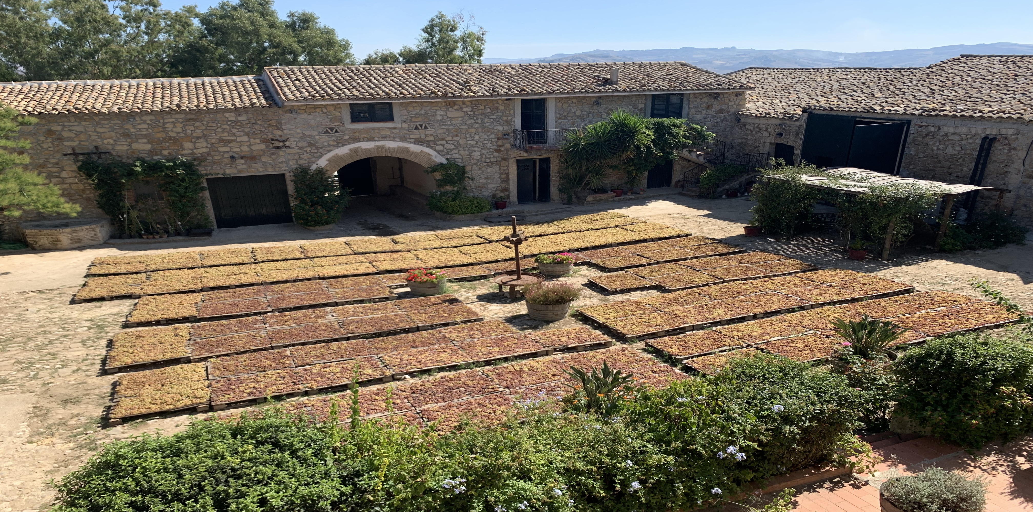
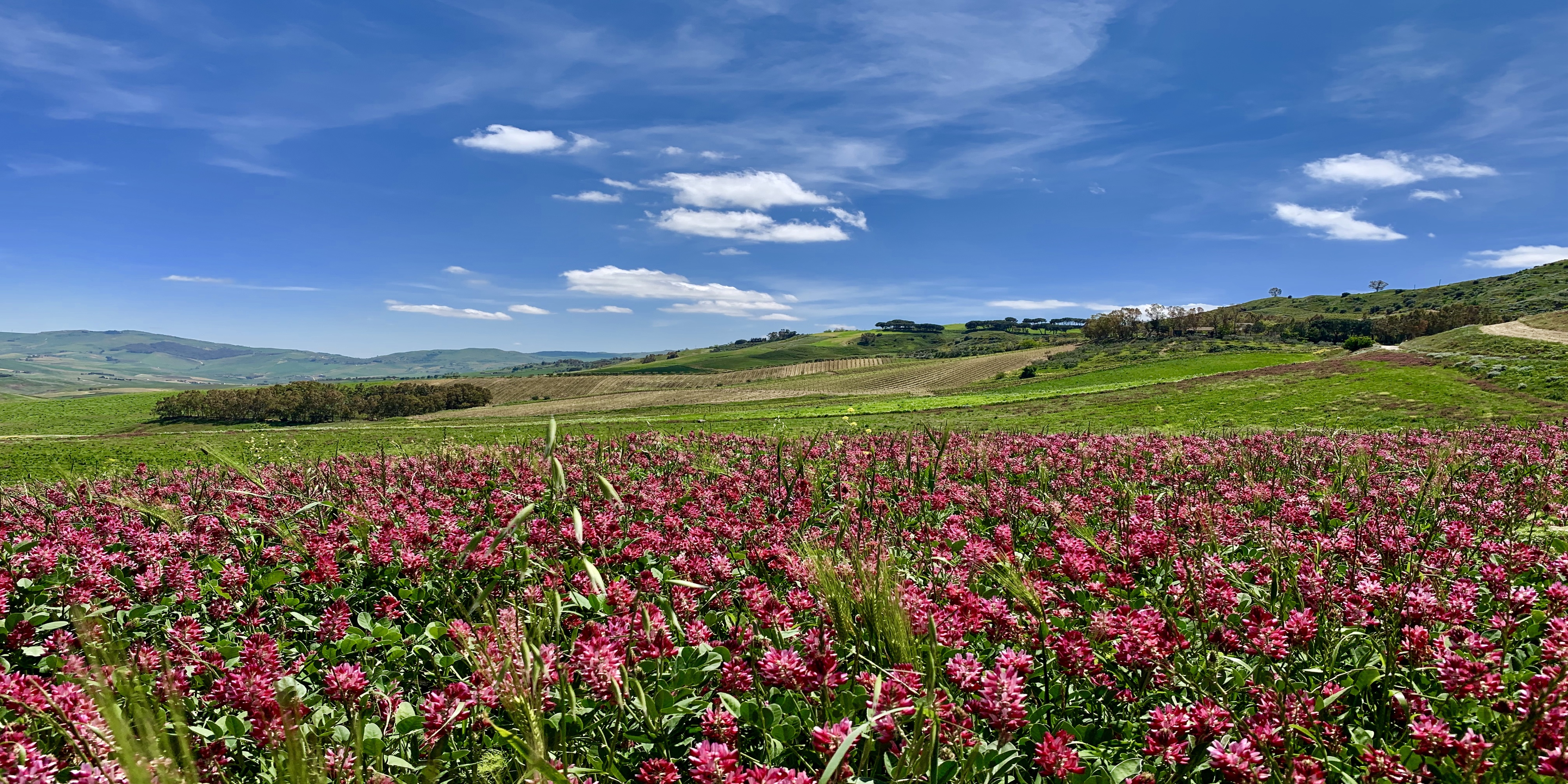
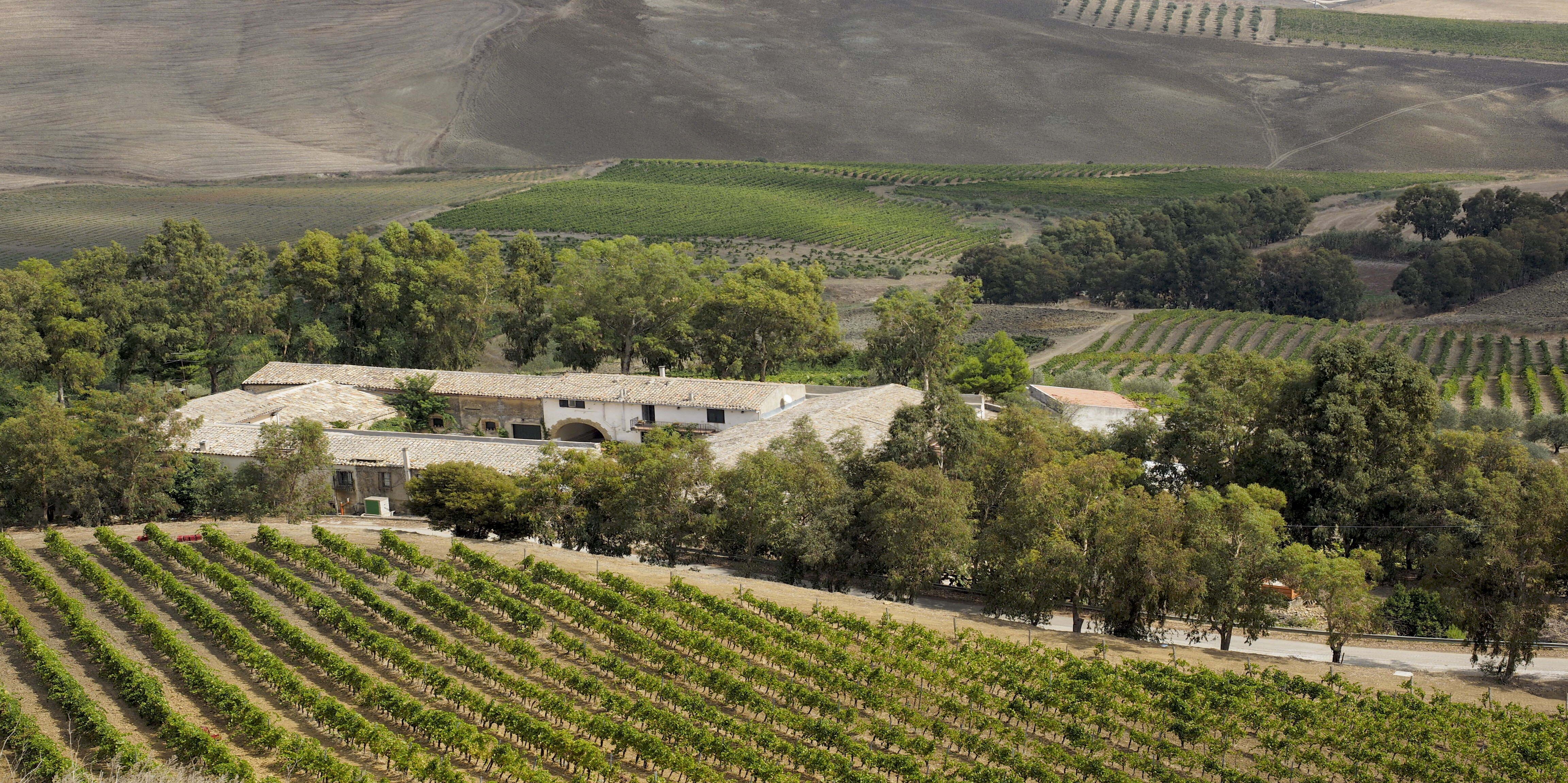
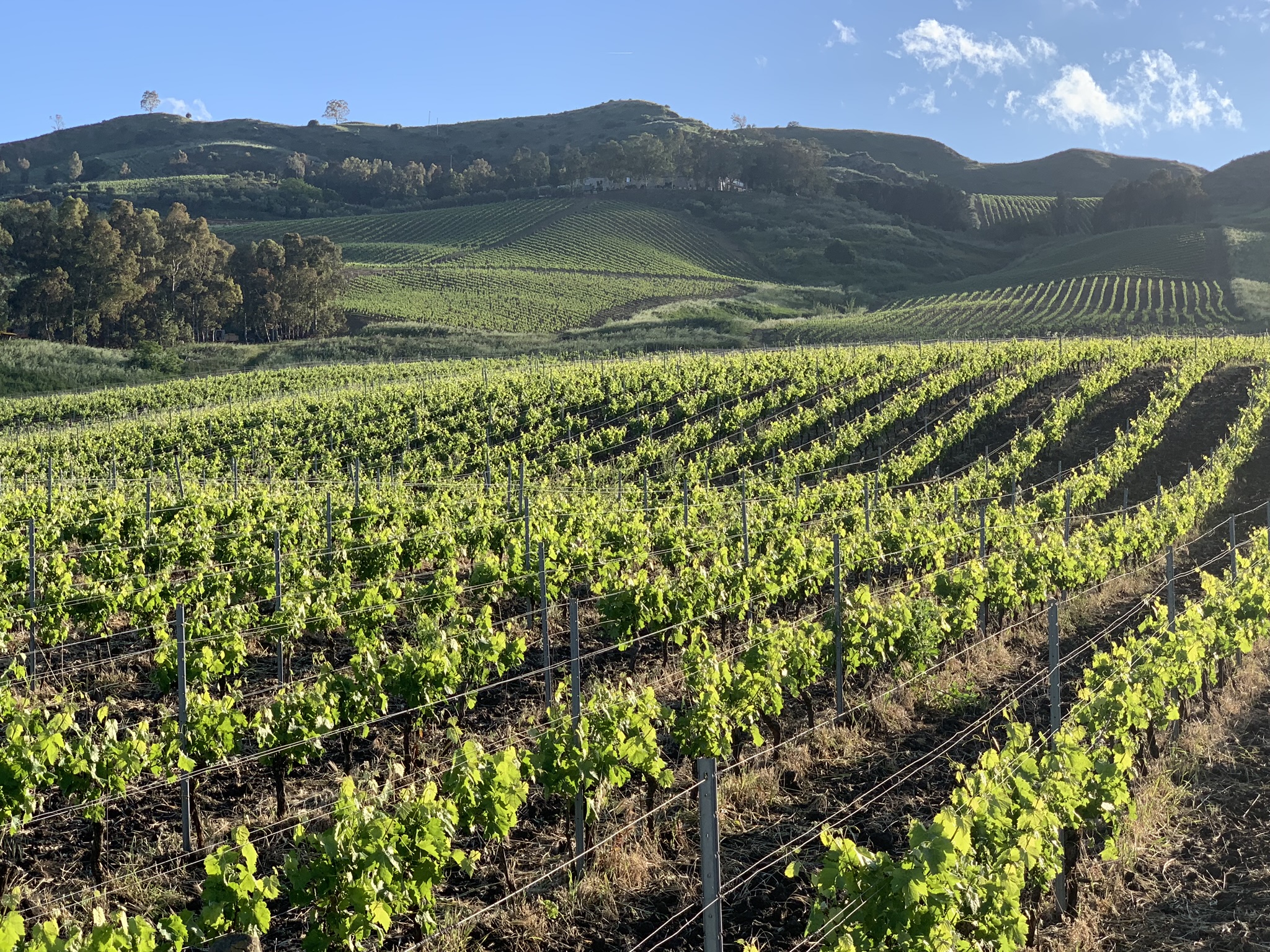
At the center of the three valleys are the lands of Montoni.
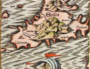
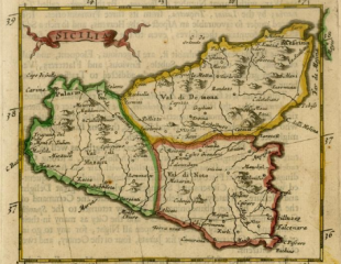
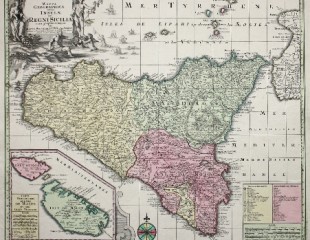
Cards depicting Sicily realized between the sixteenth and the eighteenth century.
Over time the treatises have become more precise and the maps have been filled with different information useful to face and interpret the world around us.
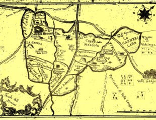
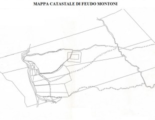
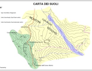
Maps over Feudo Montoni
Generally speaking, the cartography in each different form is important for men and especially for a vineyardist who finds in it the first representation of its lands that he tries to keep. For Fabio the cartography is so important that he has decided to clothe one of his most important wines, Vrucara, with a reproduction of the ancient map of Feudo Montoni. ( Each bottle of our Vrucara is in fact clothed by a reproduction of the ancient map of Feudo Montoni).